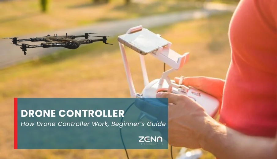
Drone controllers are the backbone of every flight. Even the most advanced drone can’t fly without one. A controller—whether a […]
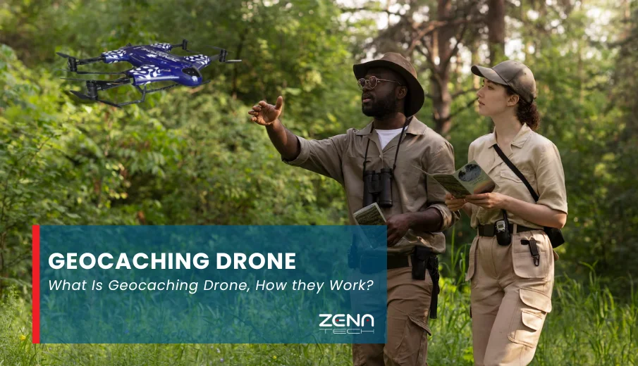
Geocaching is a modern treasure hunt that blends outdoor adventure with technology, using GPS to locate hidden “caches.” It’s more […]
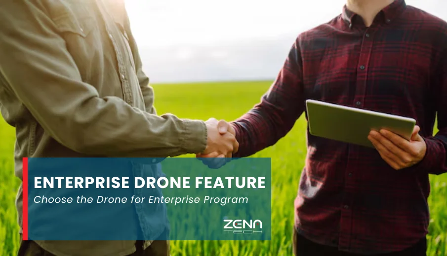
Drones were once known devices for fun and hobbies, but now they are also the professional go-to tools used in […]
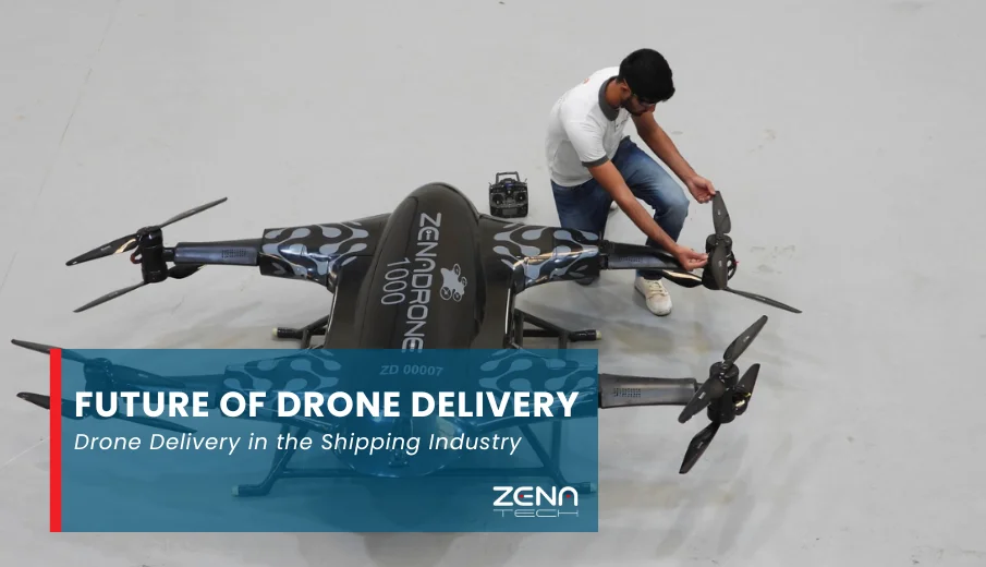
Drone delivery is transforming the shipping industry by enabling faster, cost-effective, and last-mile logistics solutions. With the ability to bypass […]
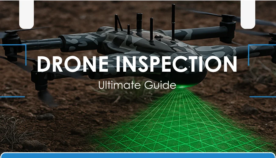
Drone inspections transform industries, providing safer, quicker, and more cost-effective solutions than traditional methods. Equipped with high-resolution cameras, thermal sensors, […]
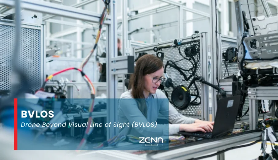
When a drone can fly beyond the line of sight, it can do a lot more things. Drones that fly […]