Urban City Planning
Better Urban planning with Comprehensive Data
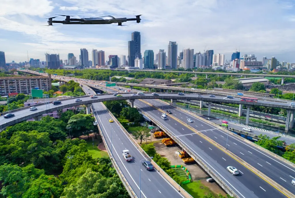
ZenaDrone 1000 is a game changer for Geographic Information System (GIS) drones and urban planners seeking cutting-edge technology by revolutionizing aerial mapping for urban planning. ZenaDrone 1000 is among the most advanced urban drones today. It features high-resolution imaging and state-of-the-art sensors for ultra-precise 3D modeling. Urban planners can seamlessly visualize city layouts and infrastructure with these capabilities. With advanced multispectral data collection, urban planners can more efficiently assess vegetation health, pollution levels, and land use patterns. Whether for infrastructure inspection, traffic analysis, or emergency response planning, the ZenaDrone 1000 provides the intelligent data necessary to shape smarter, more sustainable cities.
Accurate and Extensive Data
Precision is the foundation of modern drone technology in urban planning, and the ZenaDrone 1000 is engineered to capture unparalleled accuracy. Its 4k drone camera records geotagged high-definition images and videos from multiple angles, allowing for the creation of geo-referenced 3D models. ZenaDrone 1000 seamlessly integrates with the best urban planning software, enabling planners to conduct detailed topographical analysis with drones.
Survey Hard-to-Reach Urban Areas Easily
Urban expansion requires exploration beyond conventional limits, and the ZenaDrone 1000 is designed to conquer inaccessible environments easily. Its Vertical Take-Off and Landing (VTOL) Drone capability enables vertical take-off and landing, making it highly maneuverable in dense urban landscapes and hard-to-reach locations. Unlike fixed-wing drones, VTOL drones like ZenaDrone 1000 can hover, land, and take off in restricted urban spaces. This makes them ideal for surveying high-rise buildings, congested streets, and narrow alleys without needing a runway.
Multispectral Sensors To Determine The Topographical Status
Understanding land suitability is crucial in urban planning, and the ZenaDrone 1000 offers groundbreaking solutions with intelligent multispectral sensors. By providing advanced topographical analysis with drones, it can indirectly detect underground water sources, assisting city developers in assessing water supply sustainability. This invaluable data helps determine whether a location can support a growing population, ensuring resource efficiency and sustainable urban expansion.
Easy To Deploy and Has Durable Body Components
Built for the demands of modern urban landscapes, the ZenaDrone1000 is as robust as it is intelligent. Designed with drone technology in urban planning in mind, it can be deployed within minutes from its charging station, ready to execute predefined flight missions effortlessly. Its rugged construction, reinforced with layered carbon fiber and high-grade composites, ensures durability with adaptive onboard sensors even in extreme weather conditions.