Top Drone Service Providers for Aerial Data Collection
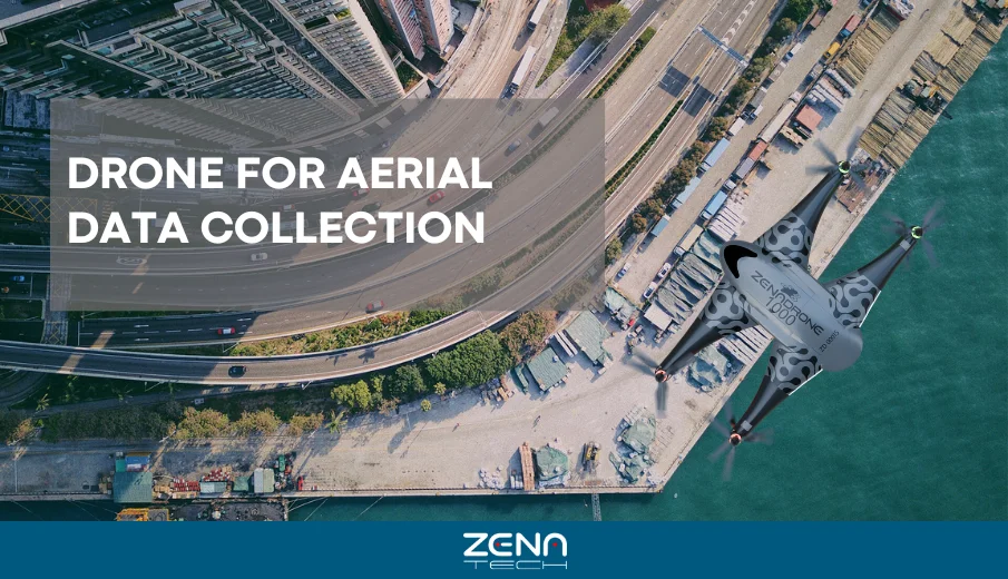
How can industries gain accurate project insights beyond traditional methods? The answer lies in drone aerial data collection. Drones capture […]
How can industries gain accurate project insights beyond traditional methods? The answer lies in drone aerial data collection. Drones capture […]
Drone technology is transforming how industries conduct surveying. It is now a vital tool for industries like mining, construction, and
Drones, also known as UAS (Unmanned Aerial Systems), have helped various industries and provided solutions ranging from photography to defense
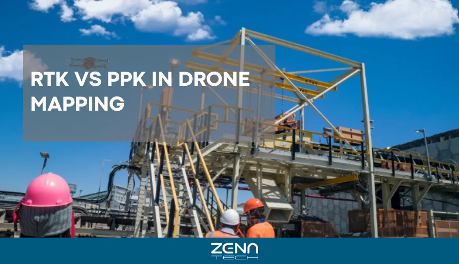
Drone mapping only works when accuracy is reliable. Raw GPS can drift by meters, which ruins survey results. RTK vs

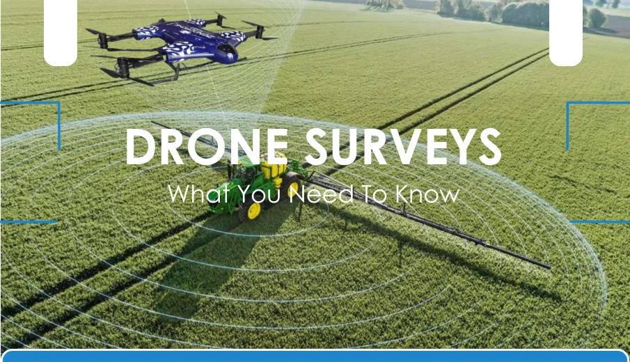
If you’ve ever seen a detailed aerial map of a construction site, farm, or even a city block and asked

Have you ever taken your drone up for a flight and noticed it buzzing or shaking more than it should?

Night flights open a thrilling new world for drone pilots—blending creativity, challenge, and responsibility. With advancing tech, nighttime operations have
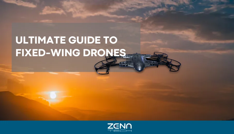
Have you encountered aeroplane-like drones? These are fixed-wing drones. What sets them apart from other drones is that they lift
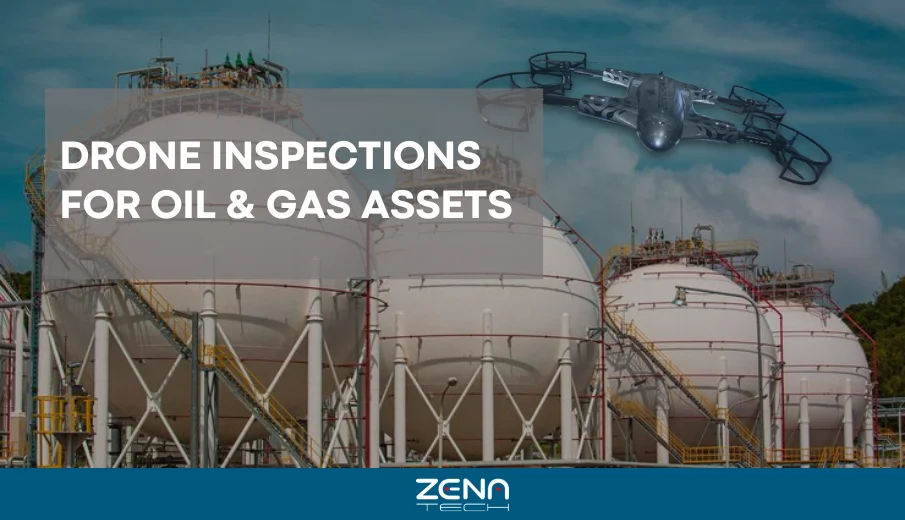
In an intricate and risky field like the oil and gas industry, safety and efficiency are the topmost priorities—and thanks
Drone technology is changing the way we explore, work, and connect with the world. Drones are everywhere, from taking aerial